
")
From the book "Bali Island", part 2 "Central part", episode 10.
8°17' 3.95"S 115°22' 9.29"E
Batur volcano, the Indonesian name is Gunung Batur. The outer caldera of the volcano was formed about half a million years ago, it is 13.5 by 10 km in diameter and reaches a height of 1717 meters above sea level.
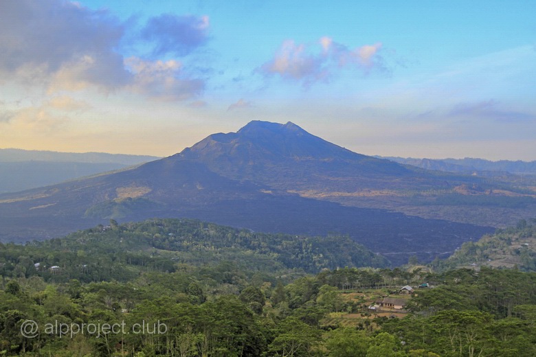
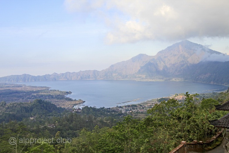
The inner caldera with a diameter of 6.4 by 9.4 kilometer was formed 21500 years ago, it was filled with water, and there was appeared same-name lake in which now they breed shrimp and fish.
The volcano is still active and dangerous. During the 1963-1964 eruptions it had destroy 16 houses of the village down. The last significant eruption occurred in 1999-2000, then the ash cloud rose 300 metres in height. In June 2011 the volcano again showed its character, it erupt portion of poisonous sulfur dioxide and a quite number of fish in the lake died.
The path to the highest point (1717 m) takes about two hours. Local mafia operate in the vicinity of the mountain, they attacks anyone who tries to climb the mountain without using the services of their guide. There are many internet reports telling that the members of this mob attack tourists with machetes, wrecking things and pierce the wheels of motorcycles, so be careful.
Point on our interactive map was placed on the highway which links the South and North of Bali island, there is views to the volcano and lake there.
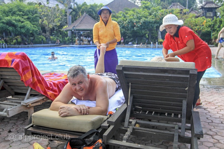
A little further to East - crossroad where side road to the crater of the volcano starts, it is possible to go along it to the lake. There is small resorts there. Massage and the subsequent dip in the pool with hot volcanic water – a great pastime :-)
< episode 9 |
episode 11 > |